Most people drive through Daly City on their way somewhere else. That is their mistake.
One BART stop from San Francisco. Direct access to Interstate 280. Ocean breezes off the Pacific. And real estate prices that still make sense.
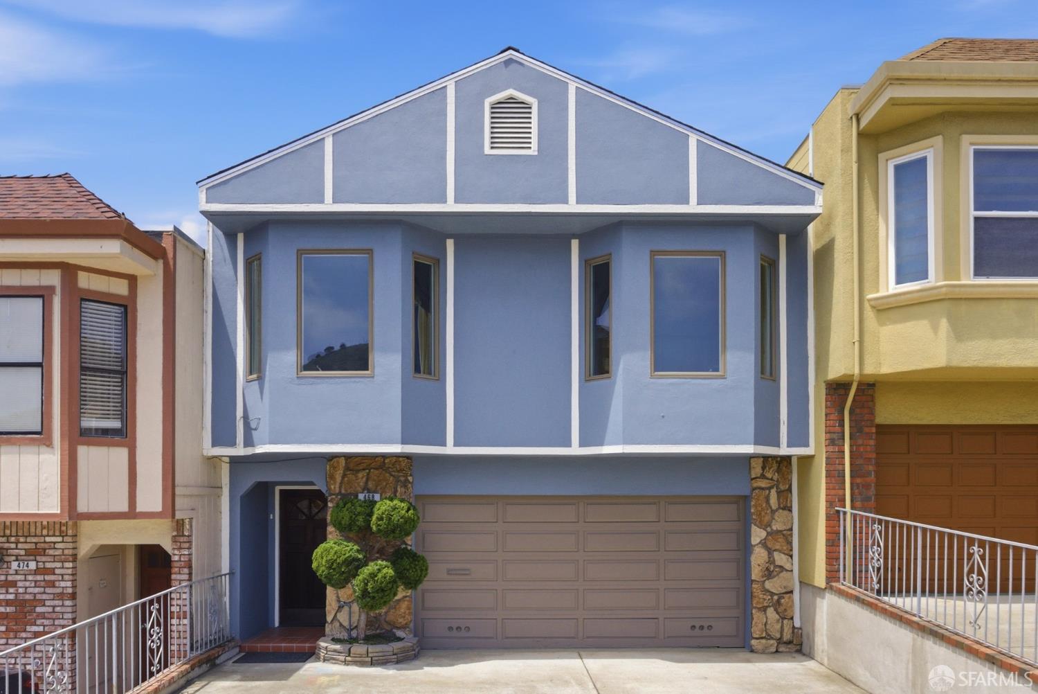
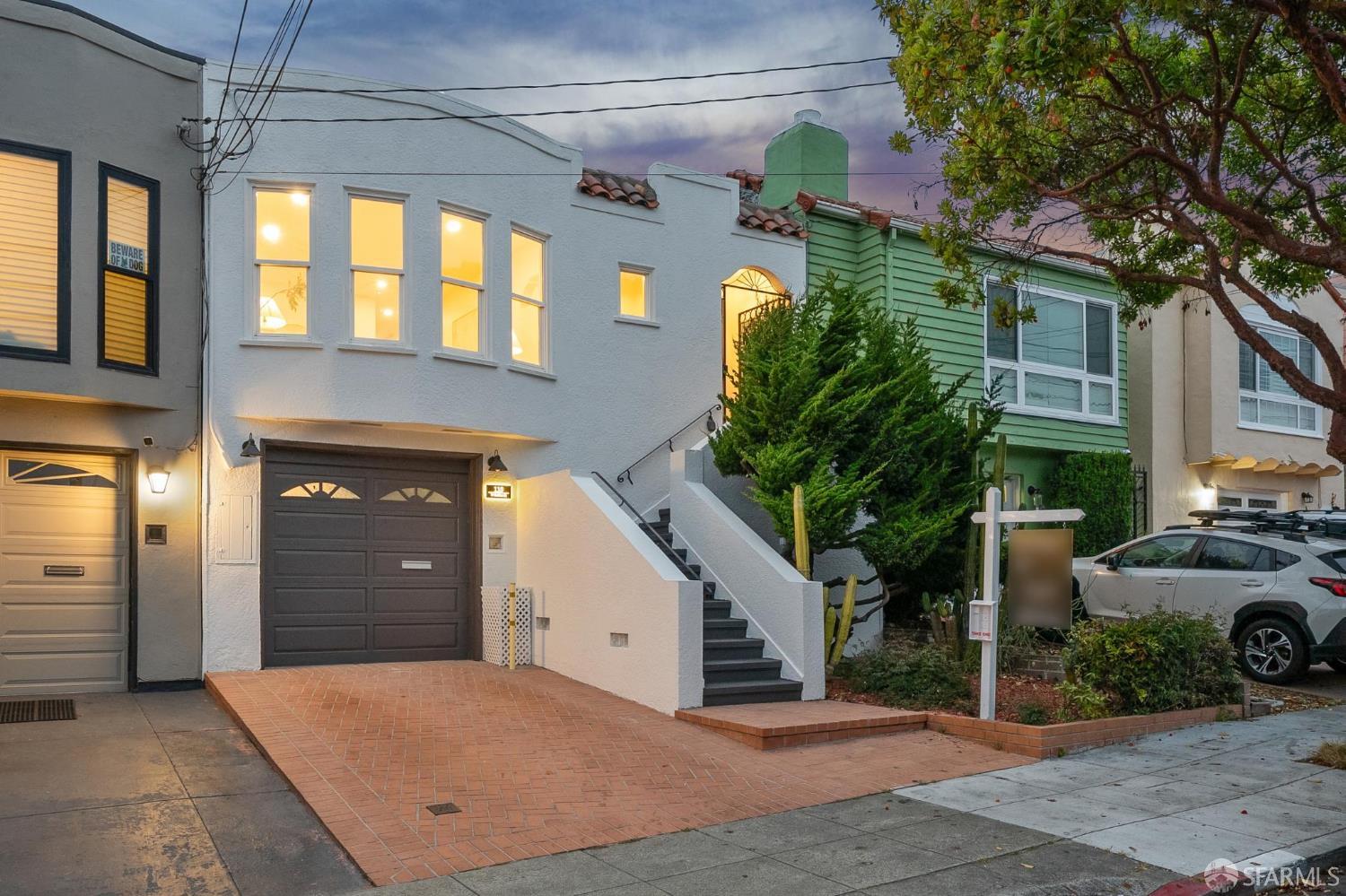
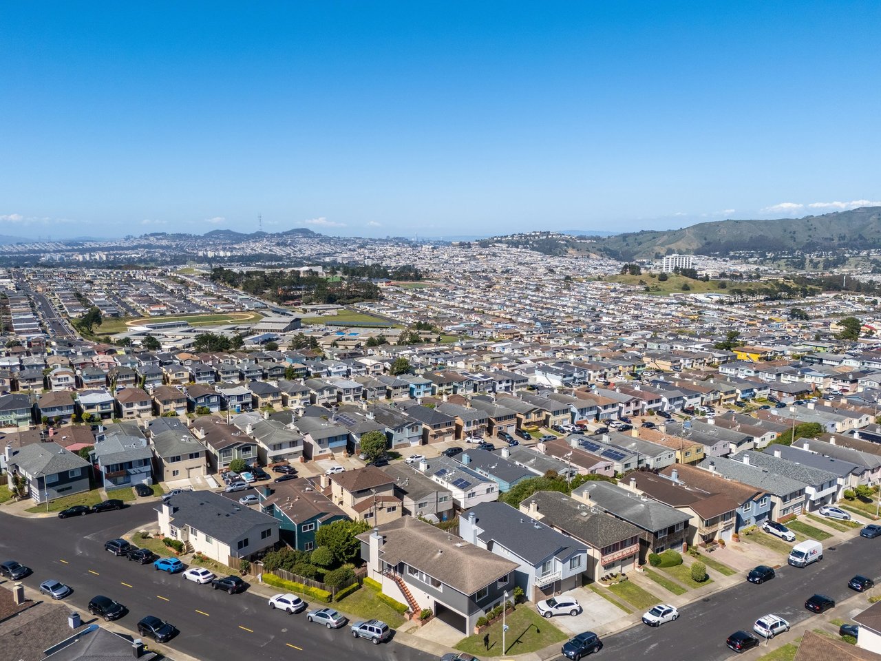
The Westlake district is the neighborhood most people mean when they say Daly City. Henry Doelger built it in the 1950s, row after row of well-constructed homes on quiet streets. They were designed to last. Most of them did. The families who bought them early have held on ever since.
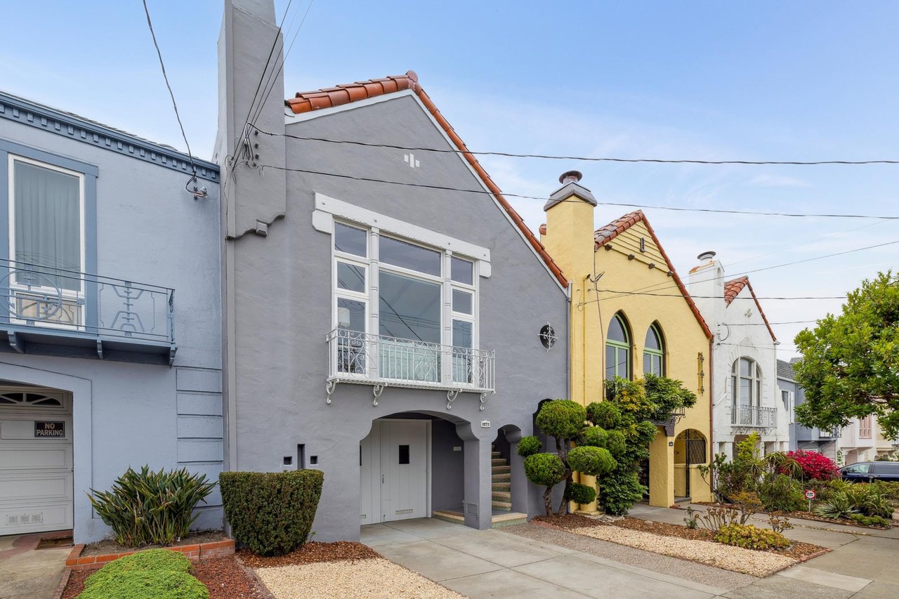
Serramonte sits higher with wider lots and longer views. Southern Hills is quieter, more tucked away. Each neighborhood has its own character without trying too hard to have one.
To the east, San Bruno Mountain State Park offers hiking trails and some of the best unobstructed views of the Bay Area. To the west, Mussel Rock Park sits at the edge of the Pacific, popular with paragliders and anyone who wants to watch the ocean without a crowd.
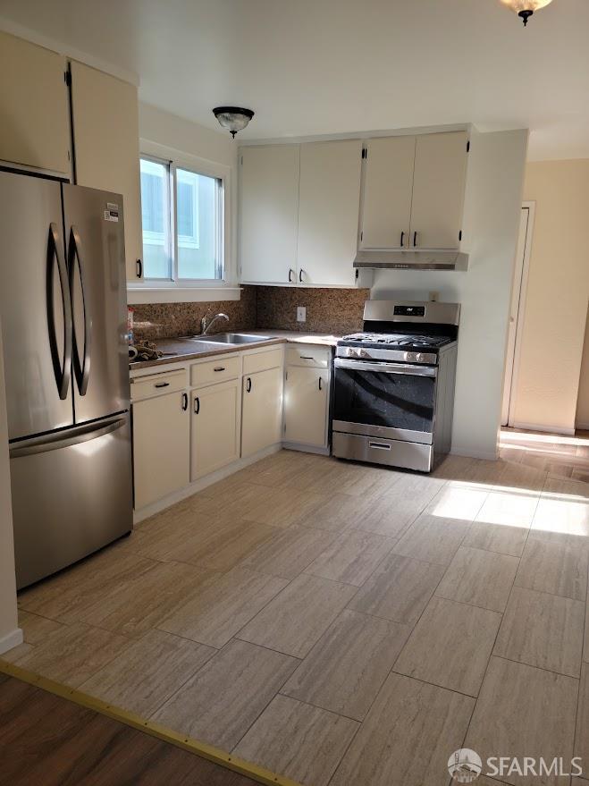
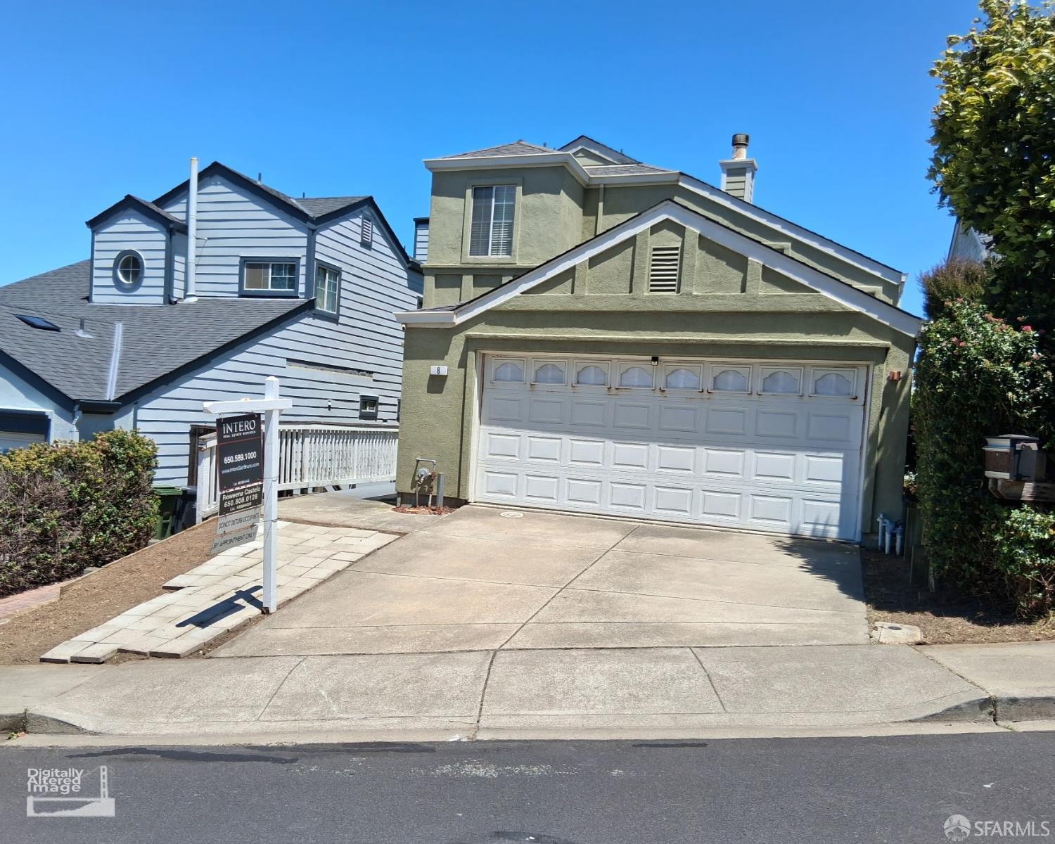
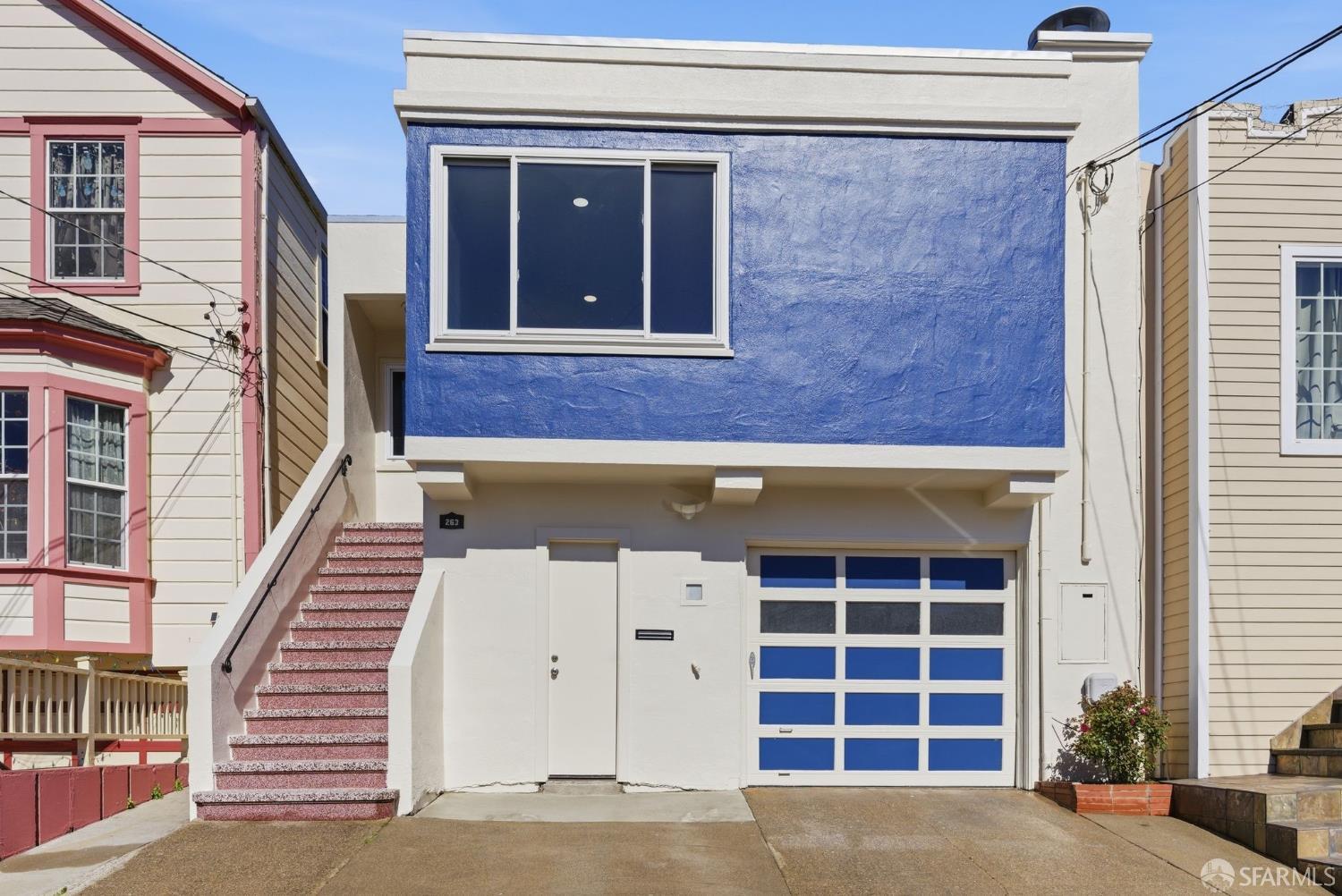
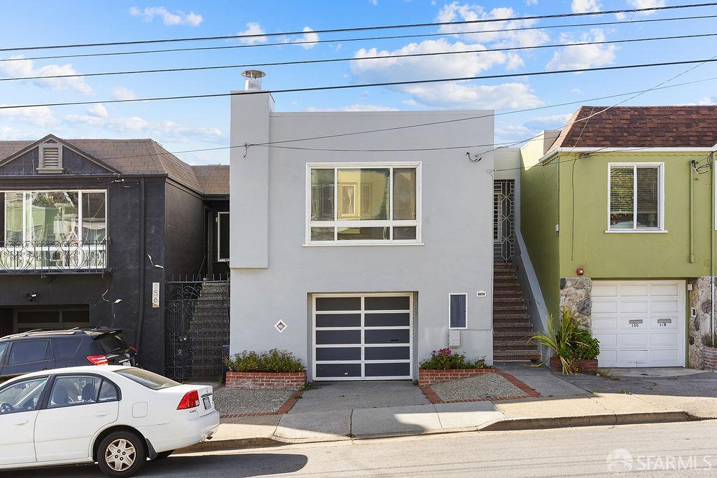
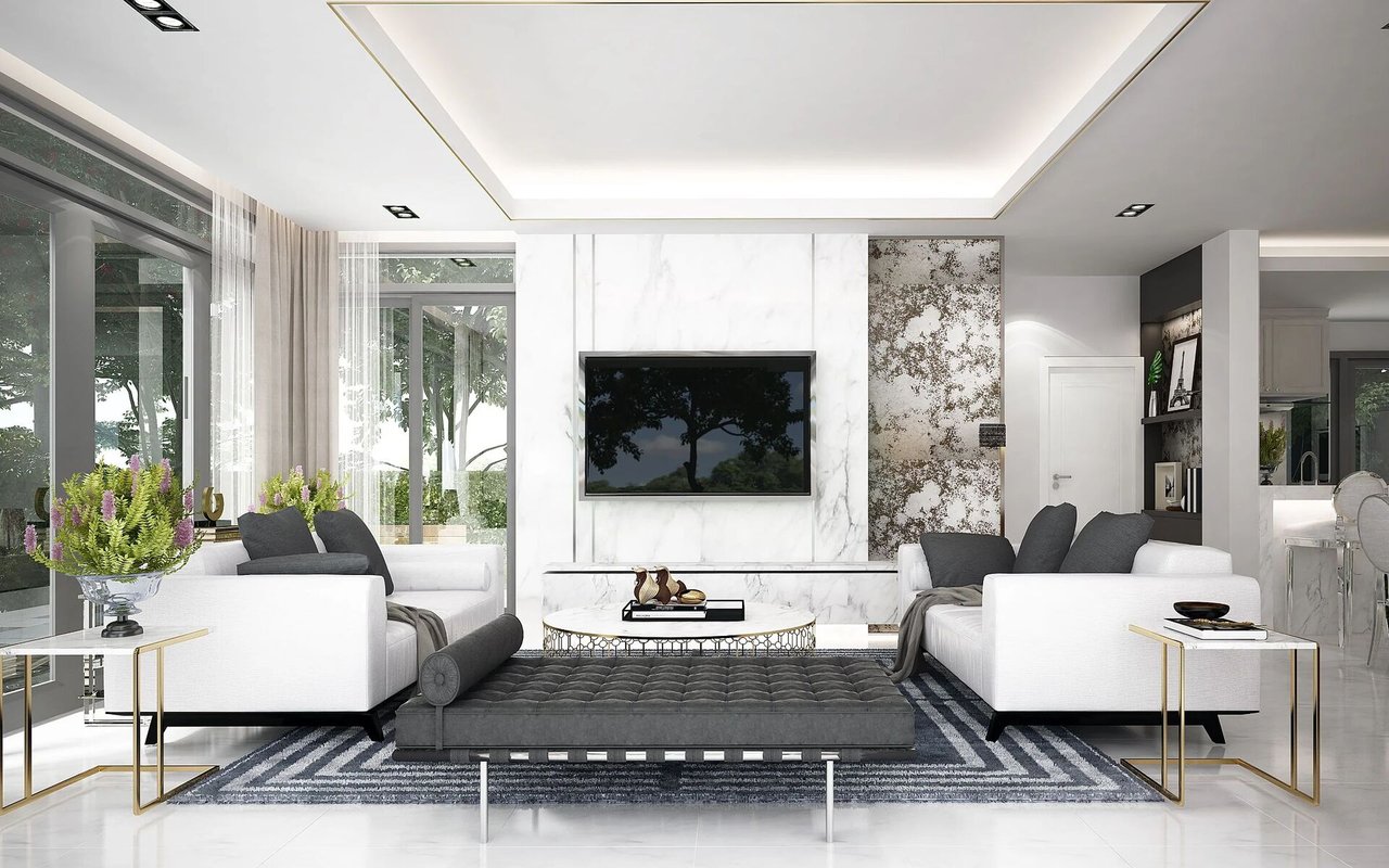
The housing stock is primarily single family homes. Most were built between 1945 and 1965. Solid construction, manageable lots, established trees. The kind of homes that don't need to be reinvented, just well maintained.
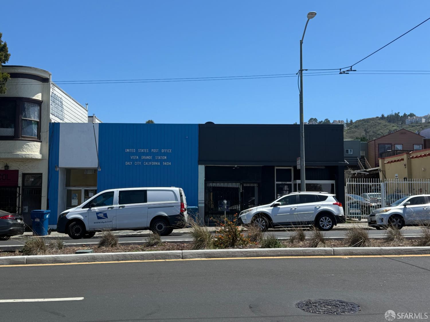
Serramonte Center handles most of the retail. Smaller neighborhoods along Mission Street fill in the rest. BART runs from two stations. SamTrans covers the gaps.
Daly City is not trying to be San Francisco. It never was. That is exactly what makes it worth knowing.
110,390 people live in Daly City, where the median age is 41.4 and the average individual income is $48,260. Data provided by the U.S. Census Bureau.
Total Population
Median Age
Population Density Population Density This is the number of people per square mile in a neighborhood.
Average individual Income
No pressure. No obligation. Just an honest conversation about where you are and what makes sense for you.